Land Survey
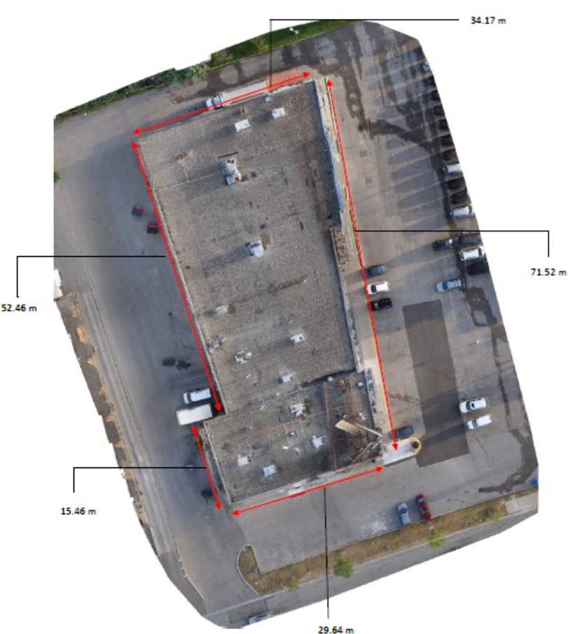
With the use of geo-referenced imaging and elevation data, Topview Inspection can provide high quality aerial mapping that exceeds that of common methods. With a special colour gradient overlay system to help readers of the report understand the significance of certain geographical features. This is a very cost-effective and superior alternative to the traditional methods.


Digital Surface Model (DSM)
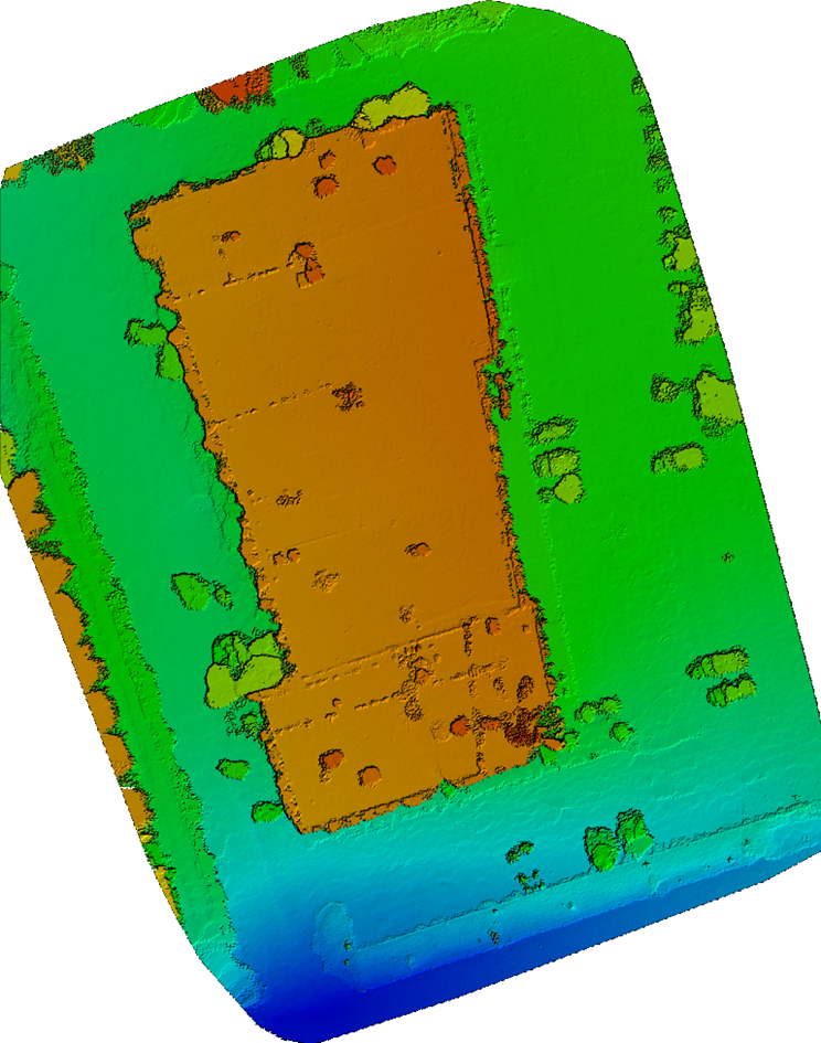
The digital surface model (DSM) allows us to determine the differences in height that is captured within the flight plan. In this example, we can see the various elevations of the building and its surroundings. The building (orange), is at a higher elevation than that of the parking lot (green). We can see that there is a slight slope (green to blue gradient) going from the parking lot to the street (blue).
